GR20 Reporting
Why?
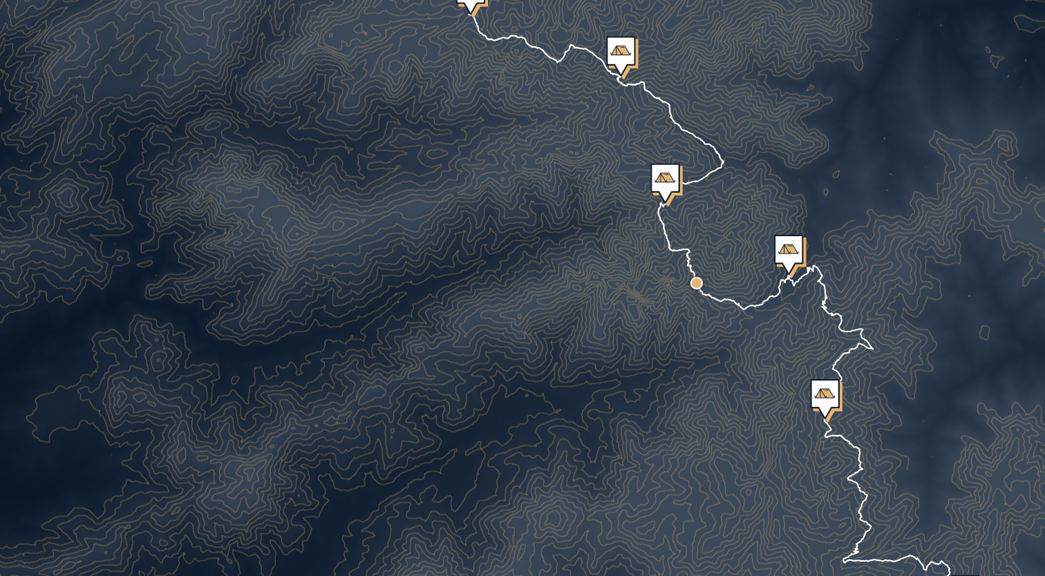
Took on the epic GR20 hike in Corsica, and the adventure didn't stop at the trails. I'm in the midst of turning this 14-day journey into a web app, though it's more of a tech demo for now, far from the grand vision I have in mind.
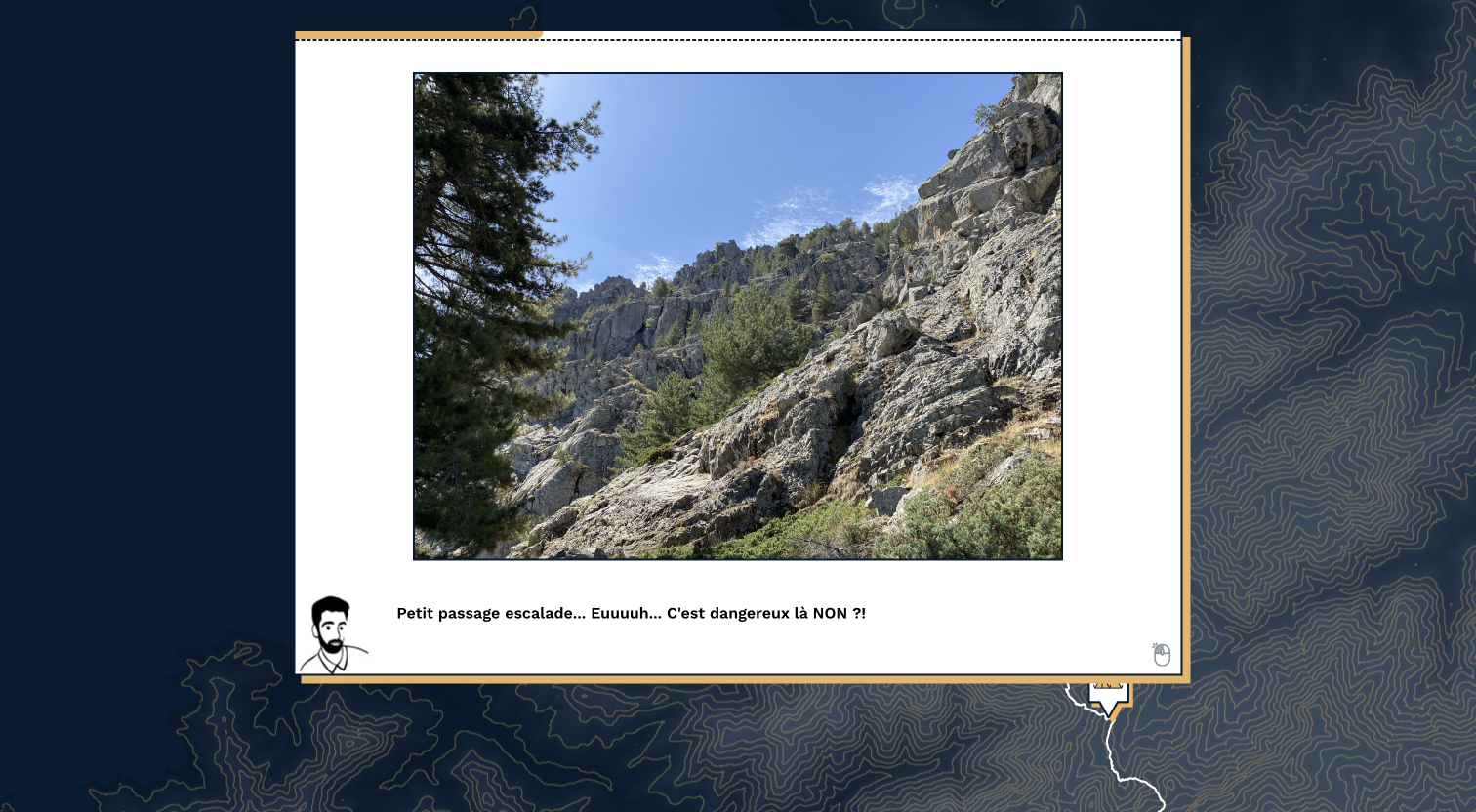
Sure, I've been posting my daily exploits on Strava, but I felt the need for something more engaging. That's when the idea of a narrative game popped up. It's not just about documenting the paths; it's about the people we crossed paths with, the stories we shared, and the bonds formed amidst the Corsican landscapes.
Digging into the technical side, I grappled with the challenge of displaying the real path from .gpx files. That led me down the rabbit hole of powerful algorithms like Douglas-Peucker and Catmull-Rom. Why? Well, for one, performance issues nudged me towards simplifying the path. On the flip side, the visual aesthetic called for enhancements.
Screenshots


Technical stack
- React with TypeScript as development framework.
- D3 geo as geography helper.
- Storybook to visualize components independently.